Log in
All resources
Create a design
35,690 Free Images of Round Maps
description de l'universe
old maps of japan
maps made in the 17th century
atlantis magni tomus tertius (biblioteca comunale di trento)
moses pitt
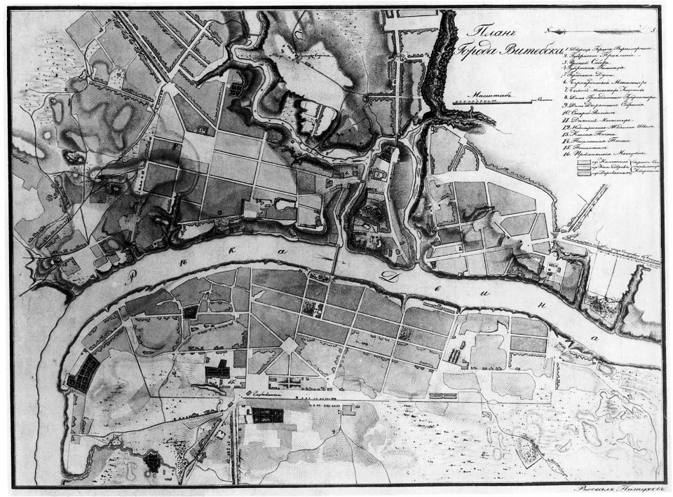
historical images of viciebsk
maps of viciebsk
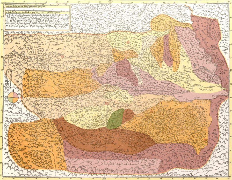
description of kingdom of georgia
its habits and canons
1740s maps of georgia
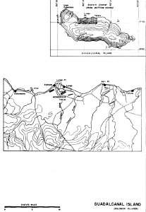
henderson field (guadalcanal)
solomon islands
description of kingdom of georgia
its habits and canons
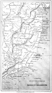
19th-century maps of brazil
maps by alexandre vuillemin
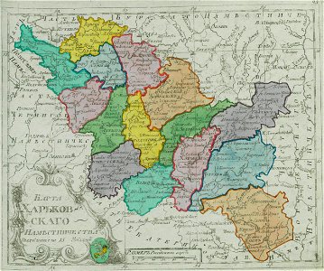
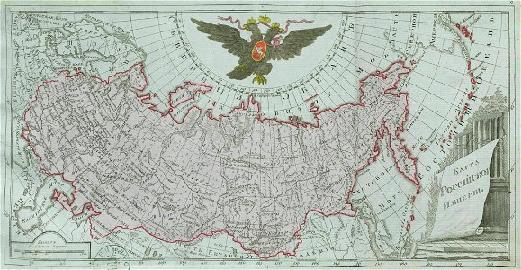
small atlas of the russian empire (1792)
kharkov viceroyalty
dutch 17th-century prints in the rijksmuseum amsterdam
netherlands
pictorial history of the russian war 1854-5-6 by george dodd
1856 maps of georgia
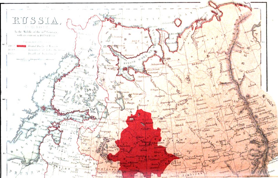
old maps of the russian empire
1856 maps
maps made in the 17th century
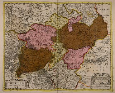
old maps of brandenburg
description of kingdom of georgia
its habits and canons
description of kingdom of georgia
its habits and canons
maps made in the 18th century
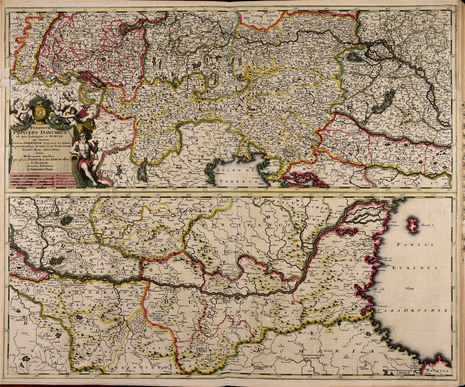
gerard valck
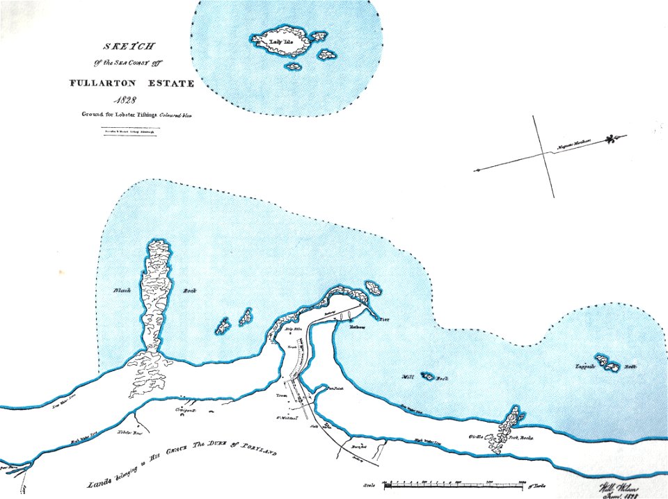
islands of scotland
maps of scotland
braun & hogenberg
copper engraving
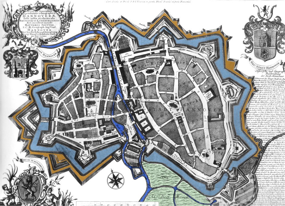
maps by matthäus seutter
city walls in hannover
maps made in the 17th century
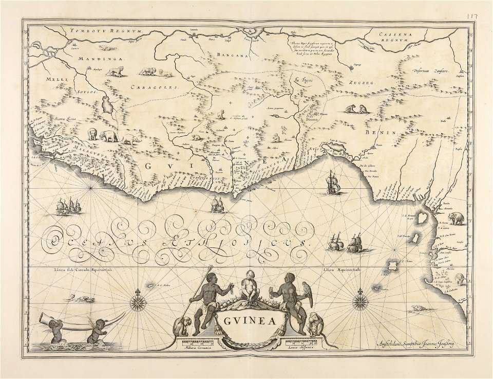
old maps of guinea
maps by nicolaes visscher i
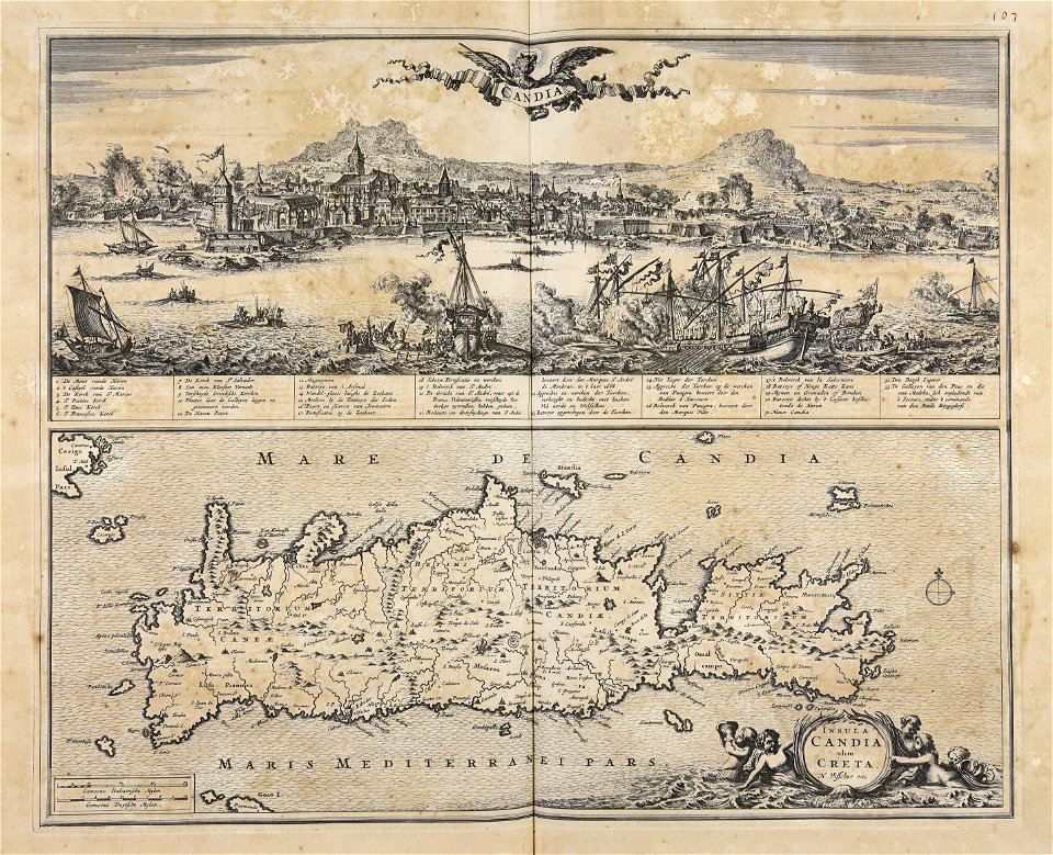
creta
maps made in the 17th century
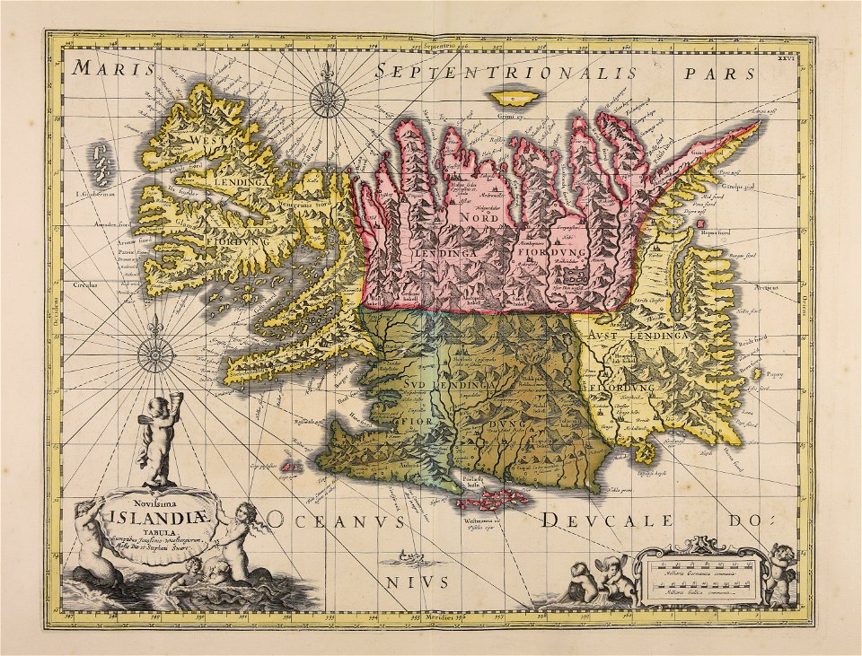
old maps of iceland
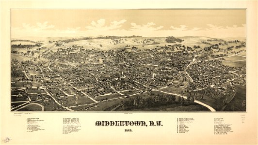
orange county
new york
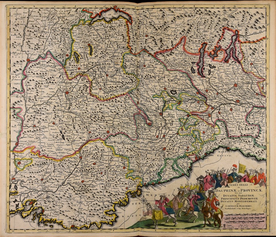
maps of the franco-dutch war
history of the french navy
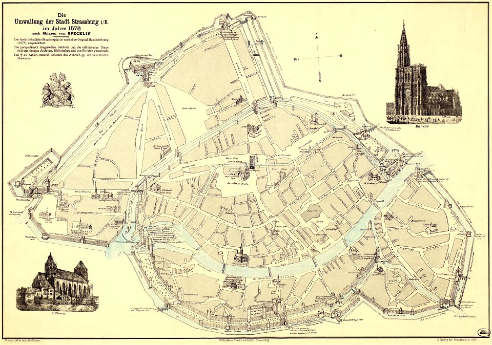
collections de la bibliothèque nationale et universitaire de strasbourg
maps by daniel specklin
engravings in the rijksmuseum amsterdam
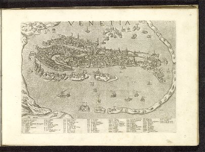
old maps of venice
maps of fort fisher
fort fisher
hawaii in the 1810s
louis choris
dell'arcano del mare
harvard university
cornell university library
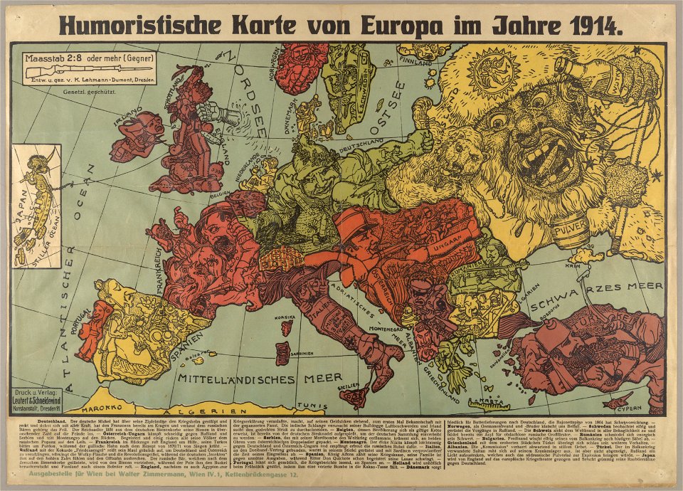
political cartoons
maps from the mechanical curator collection available to georeference
maps from the mechanical curator collection
atlantis magni tomus quartus (biblioteca comunale di trento)
maps by nicolaes visscher i
old maps of the russian empire
catherine the great
popular science monthly illustrations/volume 32
low pressure systems
maps made in the 17th century
old maps of skåne
maps by willem and johannes blaeu
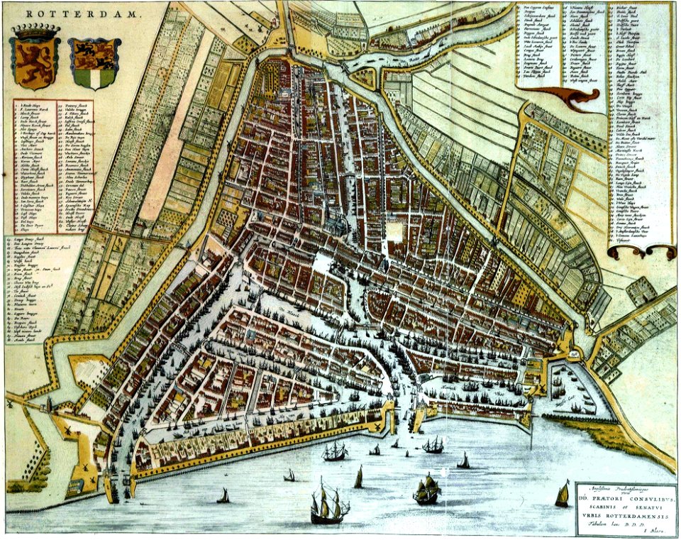
old maps of rotterdam
maps made in the 17th century
cornelis danckerts (i)
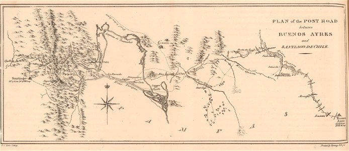
19th-century maps of argentina
1820s lithographs
atlas of the russian empire (1800)
maps of astrakhan governorate
images from bristol past and present (1882)
bristol
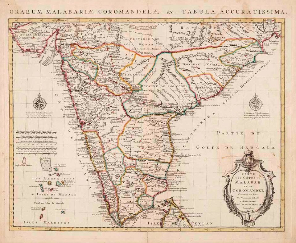
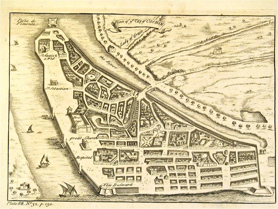
old maps of the malabar coast
18th-century maps of india
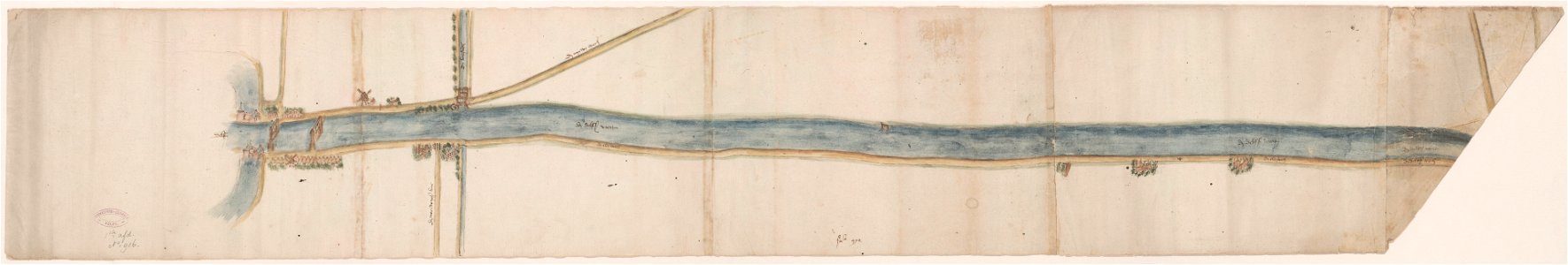
maps of waterways in the netherlands
collections of stadsarchief delft
historia de gentibus septentrionalibus
öland
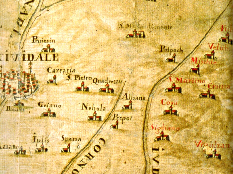
santuario della beata vergine di castelmonte
historical images of cividale del friuli
maps made in the 18th century
gerard valck
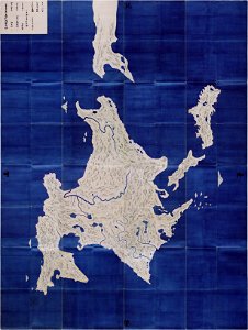
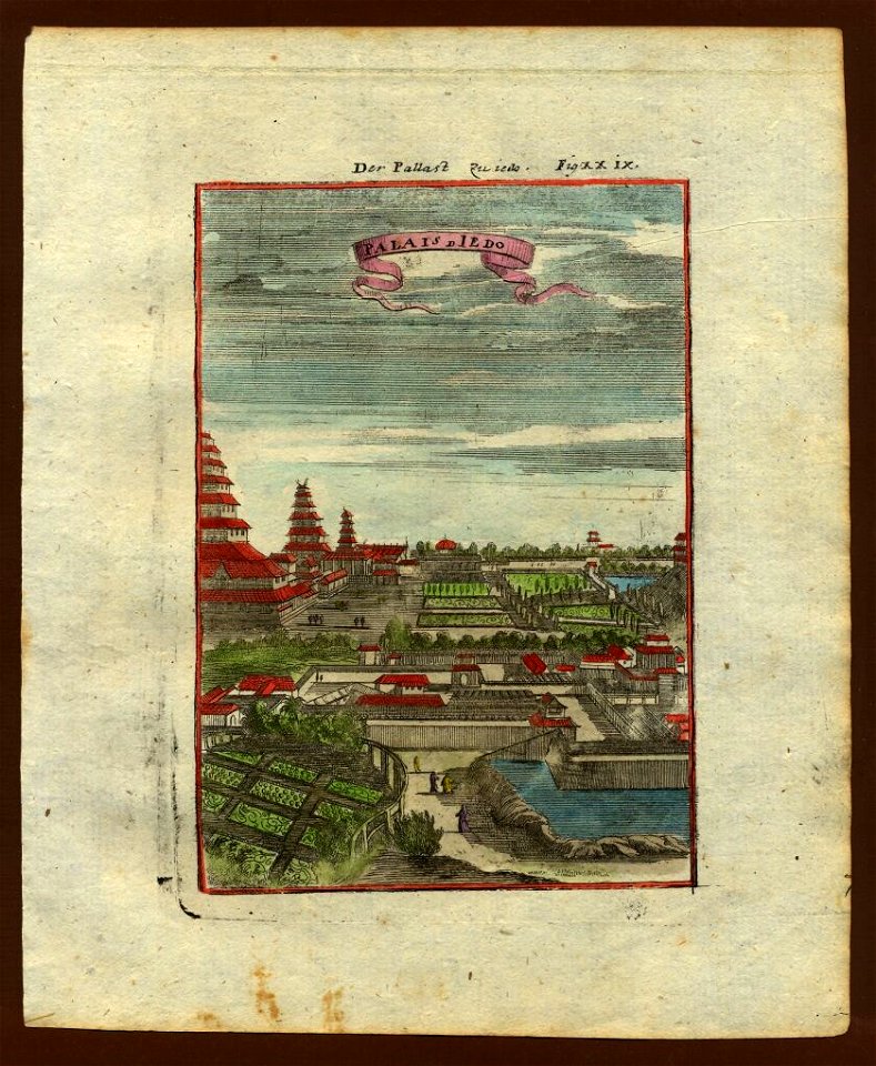
important cultural property of japan in tokyo
maps in the national archives of japan
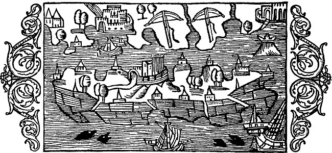
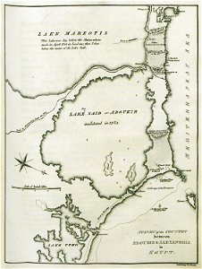
old maps of alexandria
asia and africa
atlantis magni tomus tertius (biblioteca comunale di trento)
maps made in the 17th century
maps made in the 17th century
danimarca
atlantis magni tomus tertius (biblioteca comunale di trento)
maps made in the 17th century
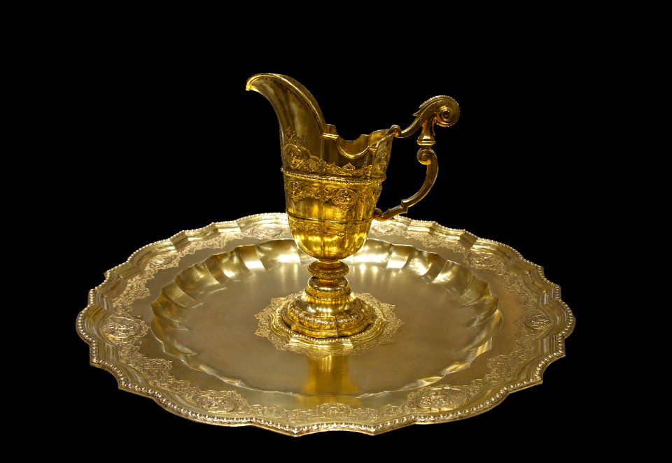
platter
gold
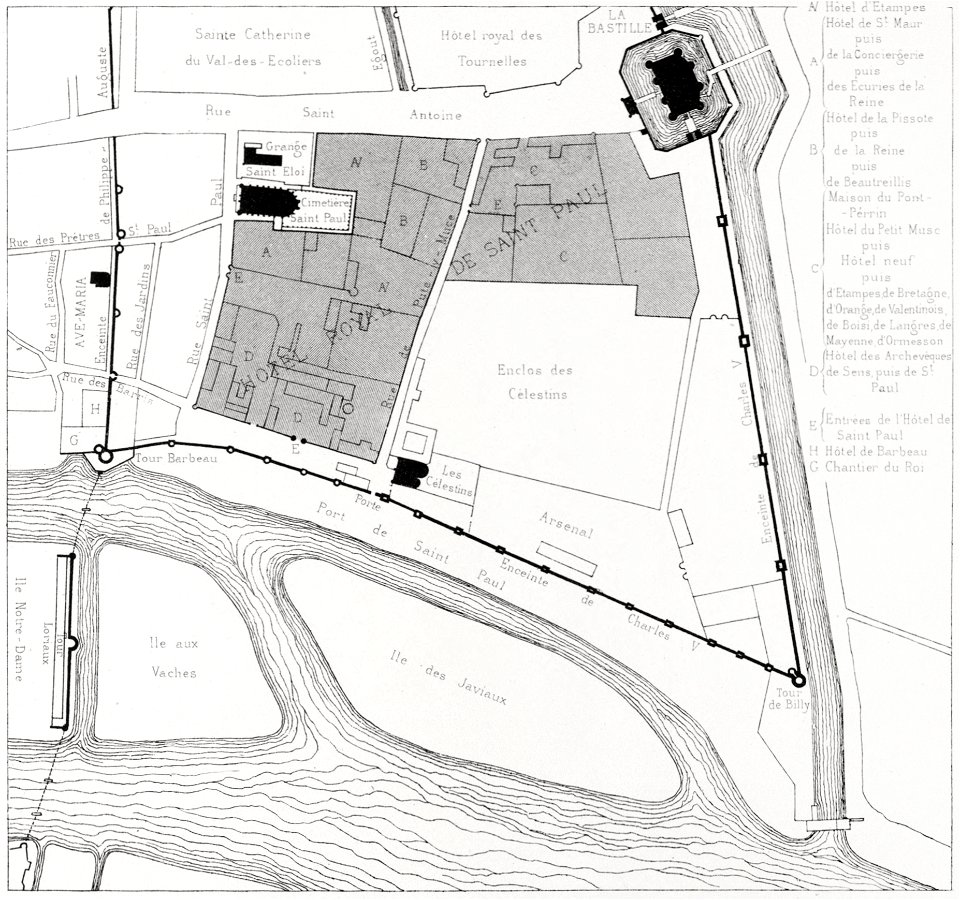
quartier de l'arsenal
bastille
historical images of orša
maps of orša
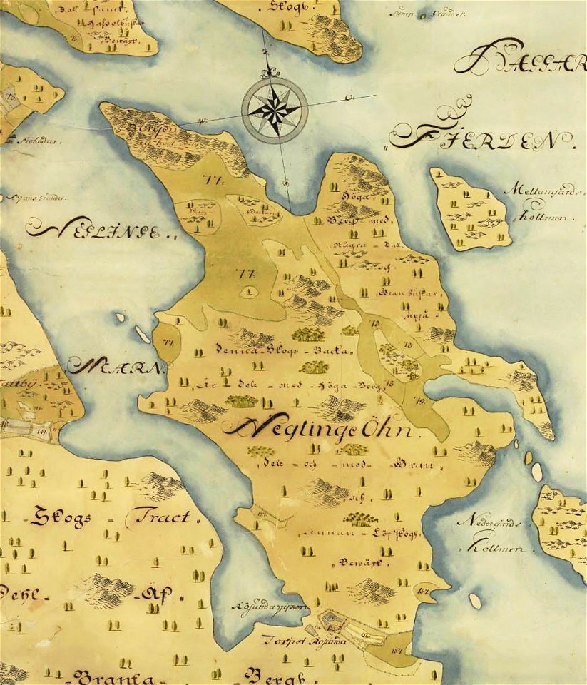
östra yttringe gård
yttringe
saltsjöbaden
maps
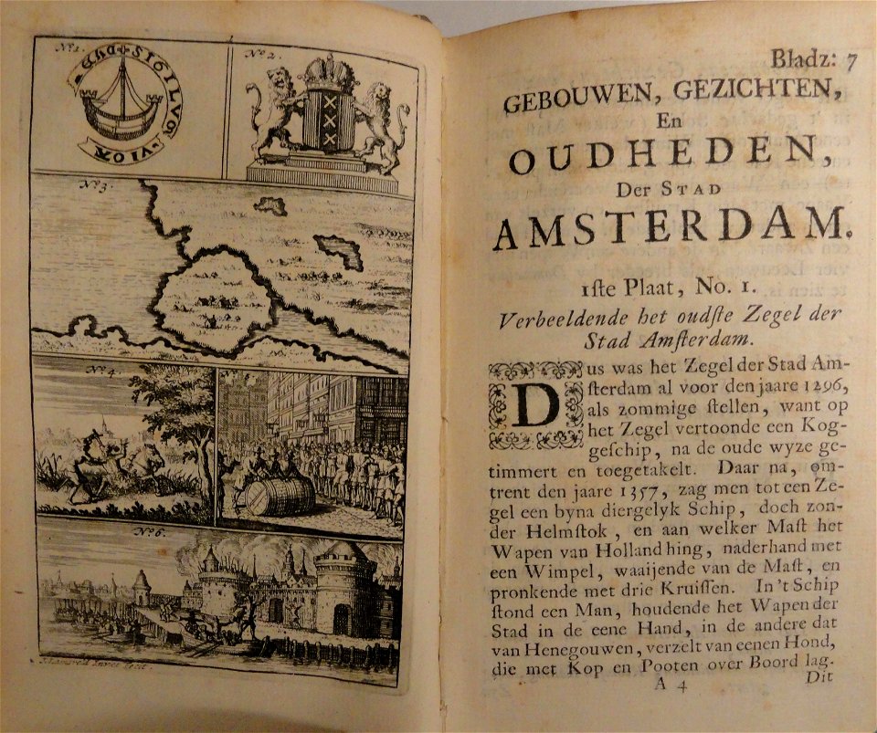
maps in the stadsarchief amsterdam
jacobus verheyden
maps in the stadsarchief amsterdam
caspar philips
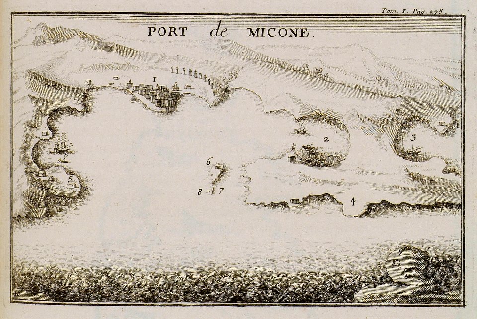
joseph pitton de tournefort
maps of mykonos
maps by george h. walker and company
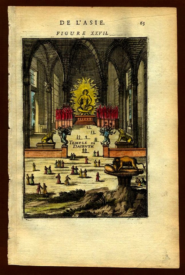
description de l'universe
old maps of goa
description de l'universe
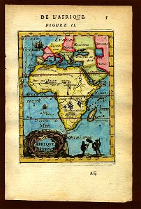
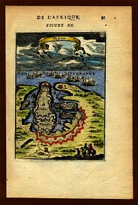
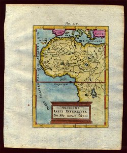
1683 maps of africa
description de l'universe
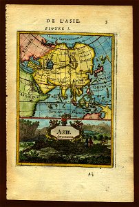
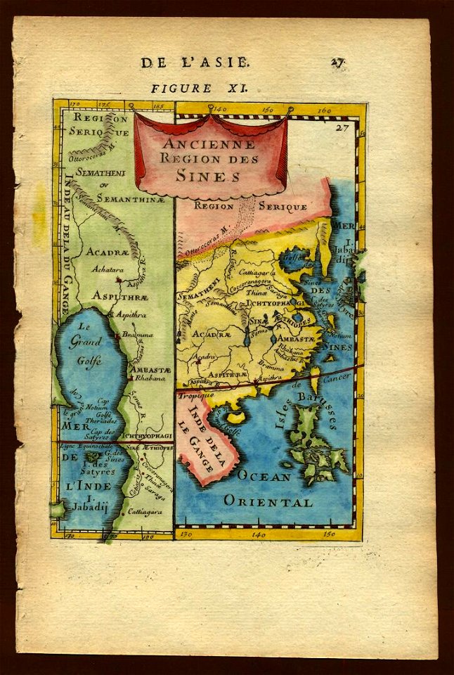
old maps of asia
description de l'universe
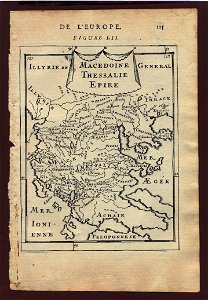
1683 maps of europe
description de l'universe
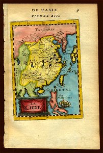
old maps of china
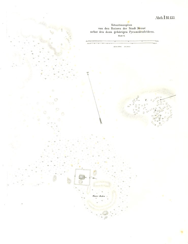
illustrations of meroe pyramids
lepsius-projekt - maps
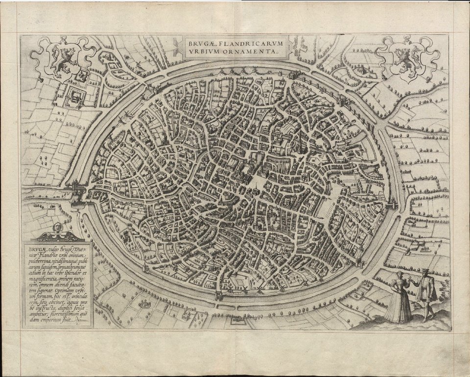
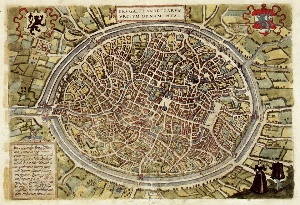
maps of bruges by braun & hogenberg
maps in the stadsarchief amsterdam
jacobus verheyden
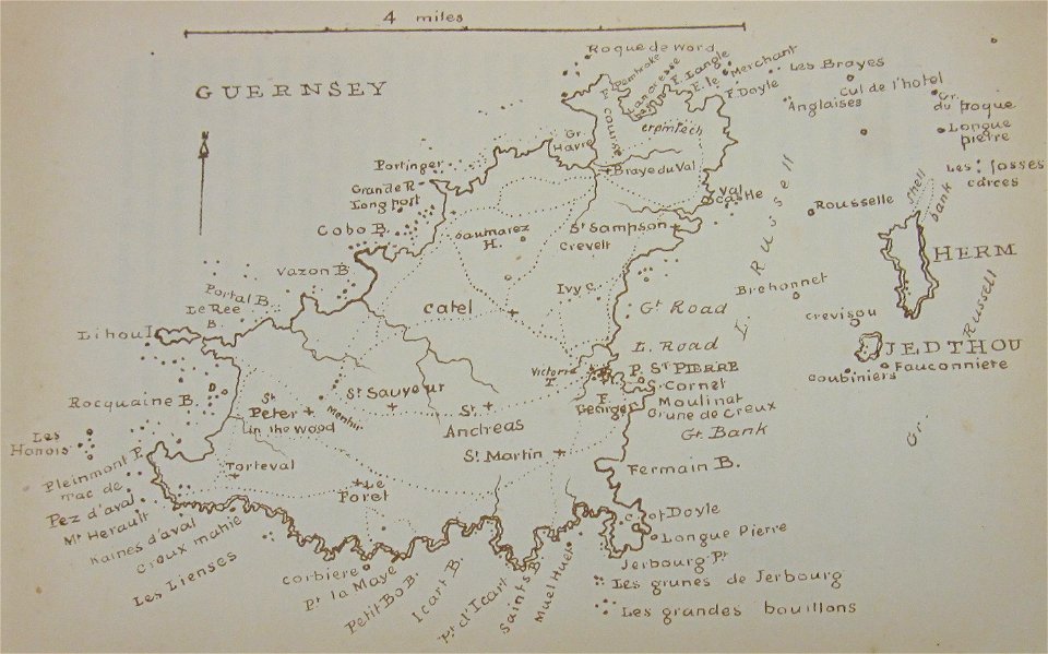
old maps of guernsey
walter cooper dendy
historical images of słonim
maps of slonim
old maps of istanbul
nicolas de fer
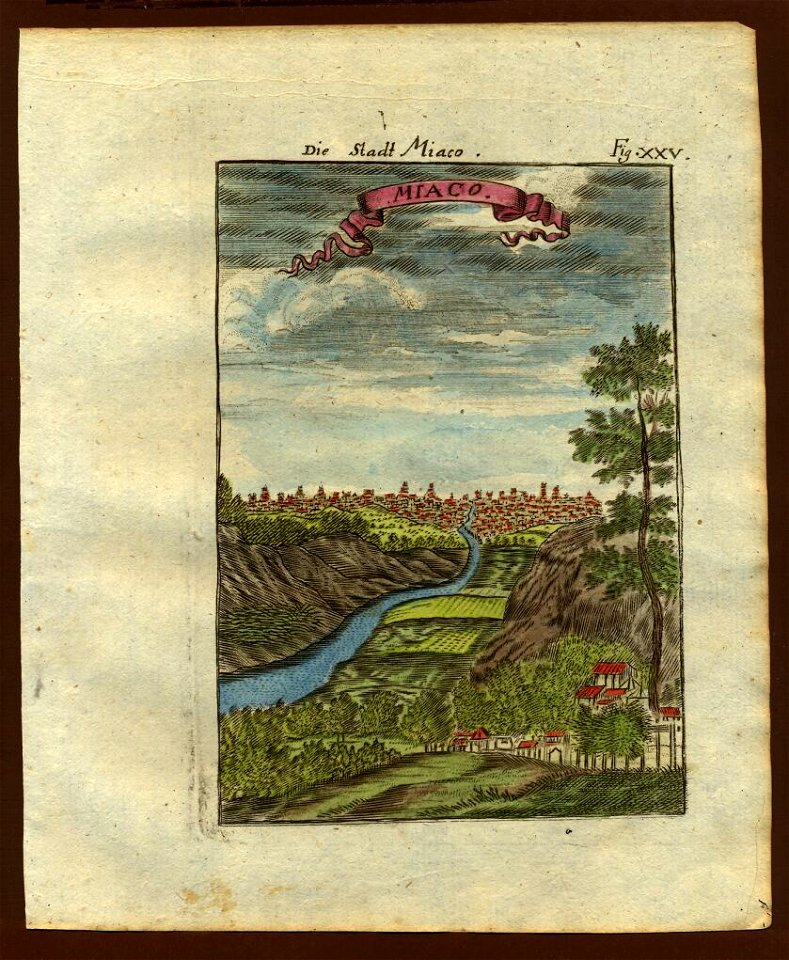
description de l'universe
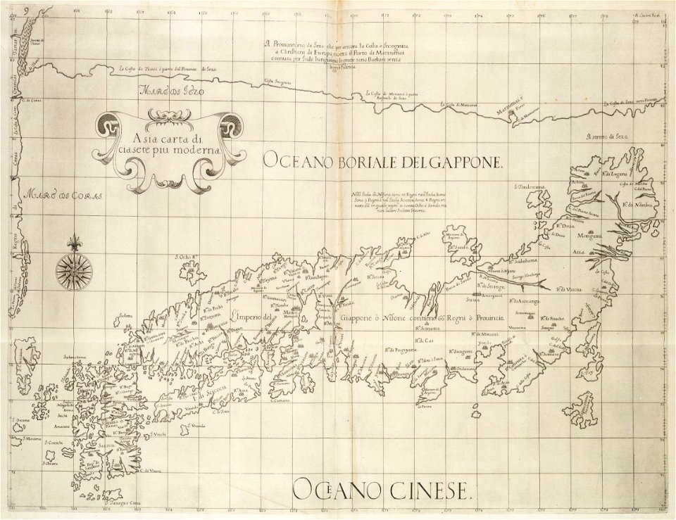
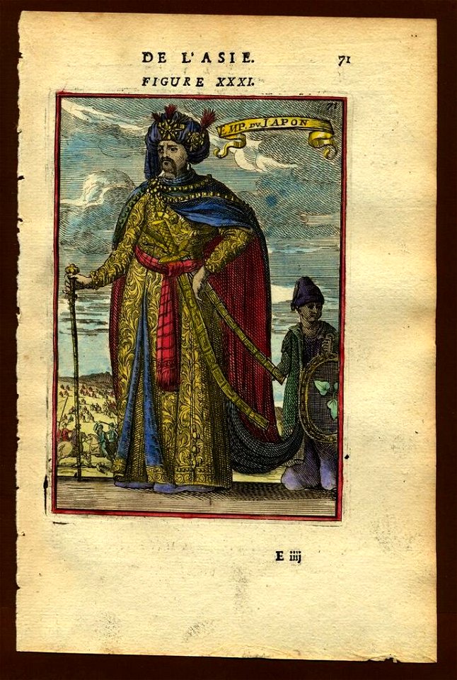
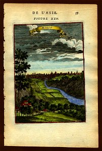
old maps of japan
description de l'universe
old maps of japan
description de l'universe
old maps of japan
description de l'universe
old maps of japan
description de l'universe
old maps of japan
description de l'universe
old maps of japan
description de l'universe
old maps of japan
description de l'universe
old maps of japan
history of ratzeburg
1730 maps of germany
historical maps of lübeck
lübeck-st. jürgen
maps by george h. walker and company
description de l'universe
old maps of japan
description de l'universe
old maps of valletta
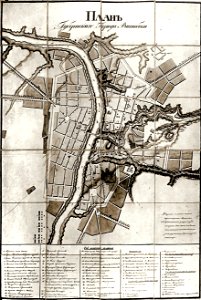
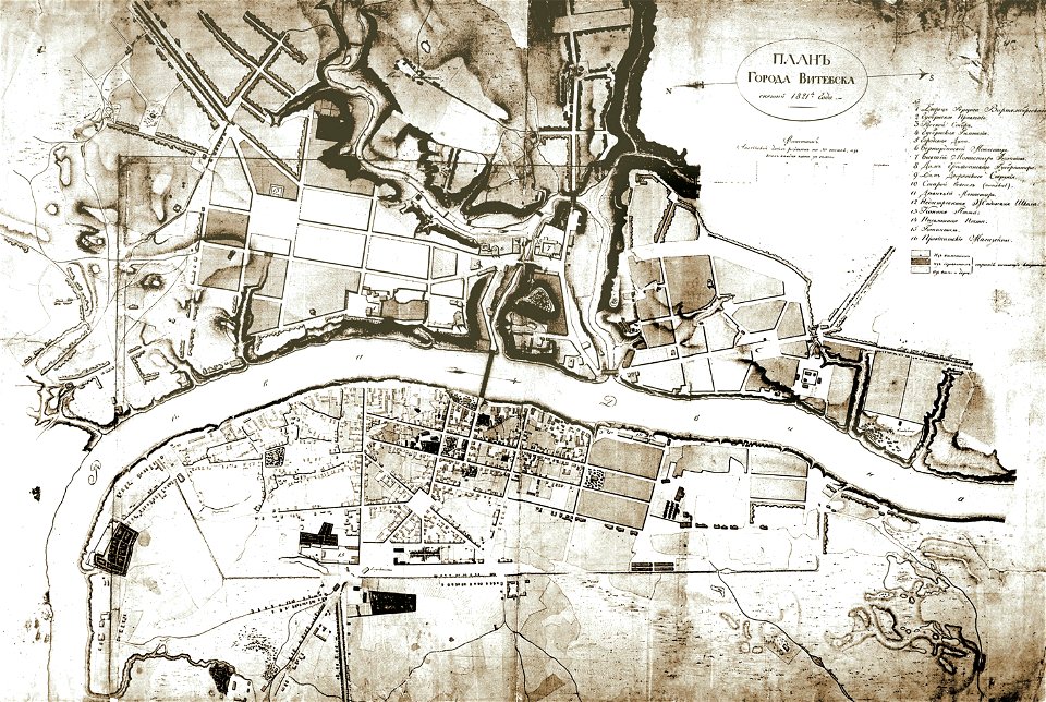
historical images of viciebsk
maps of viciebsk
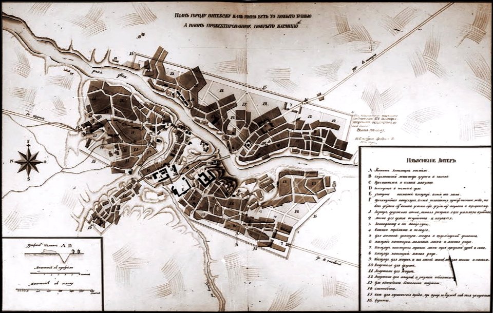
historical images of viciebsk
maps of viciebsk
historical images of viciebsk
maps of viciebsk
historical images of viciebsk
maps of viciebsk
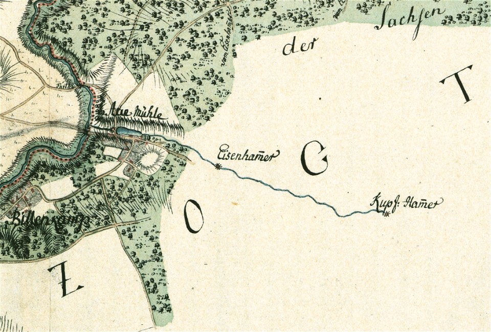
maps by gustav adolf von varendorf
sachsenwald
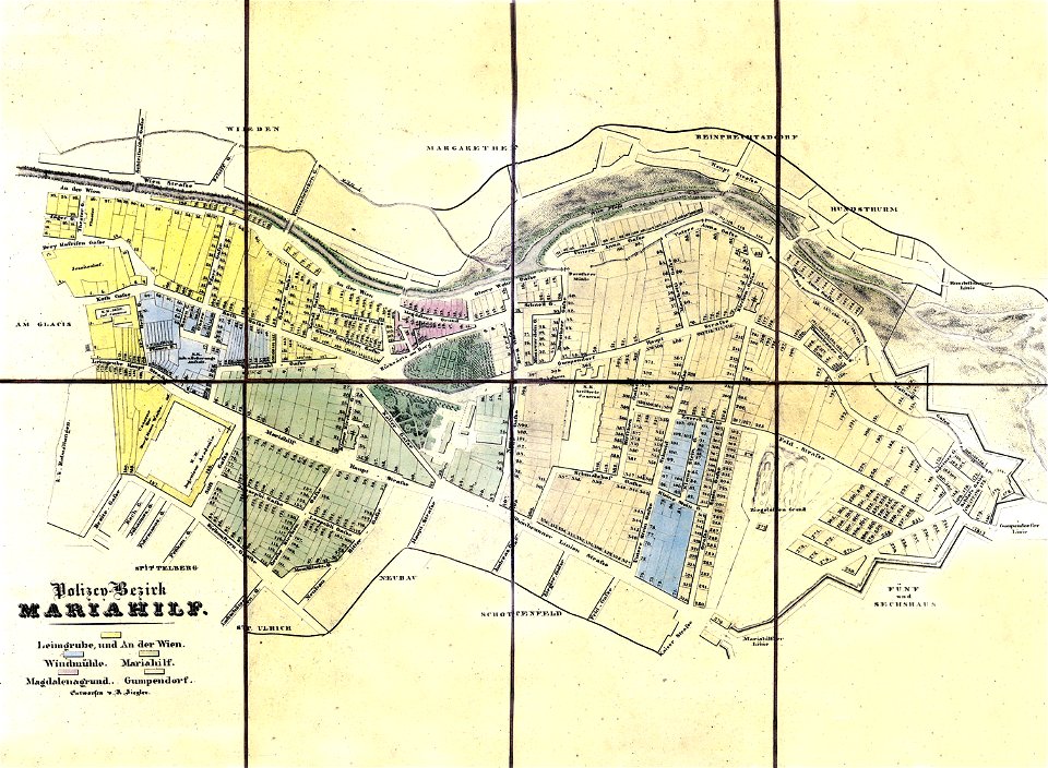
old maps of mariahilf
carl graf vasquez
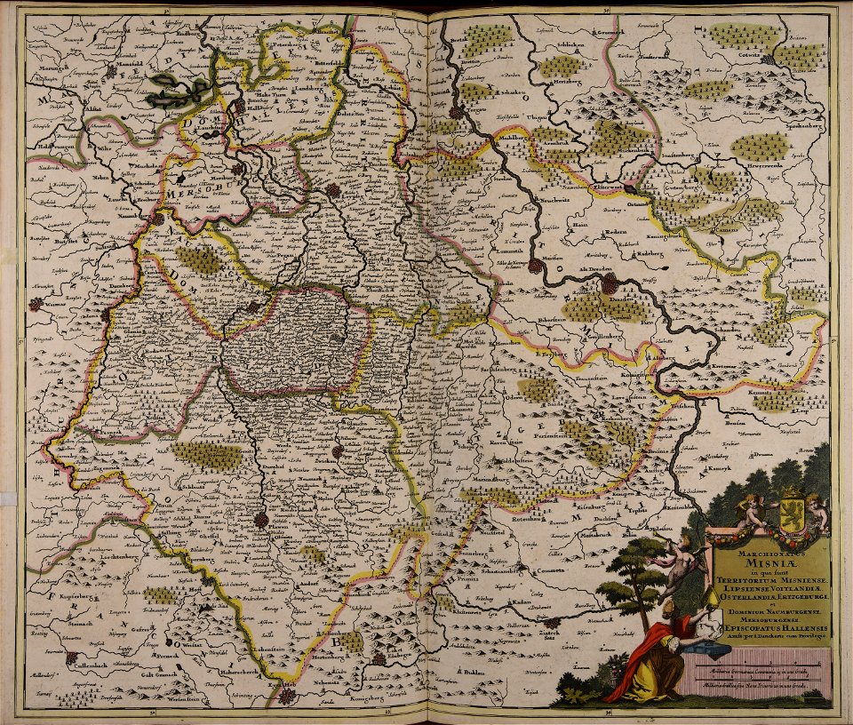
old maps of silesia
duchy of jauer
description de l'universe
1719 maps of africa
description de l'universe
old maps of china
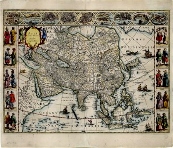
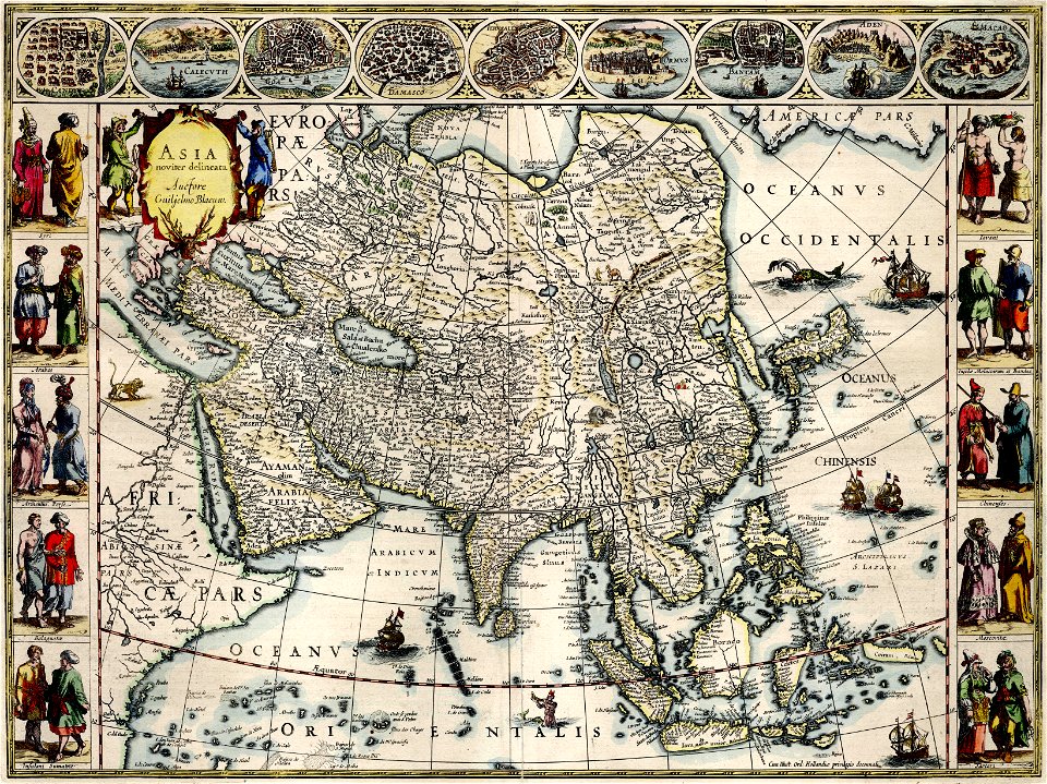
asia noviter delineata
1610s maps of asia
asia noviter delineata
1610s maps of asia
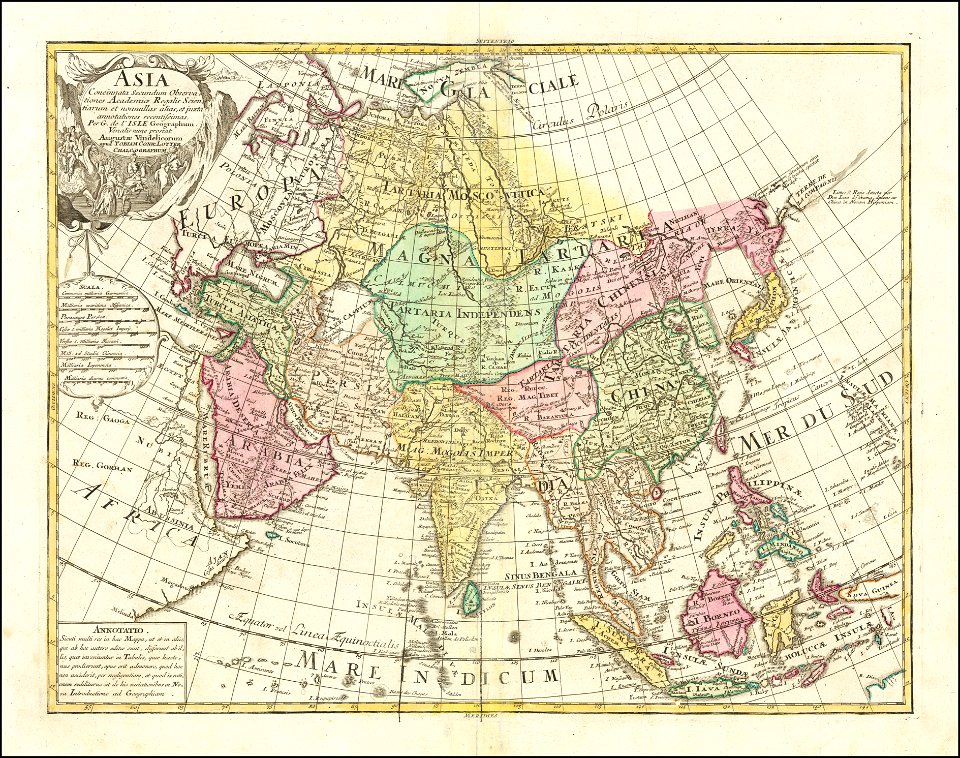
tobias conrad lotter
1770 maps of asia
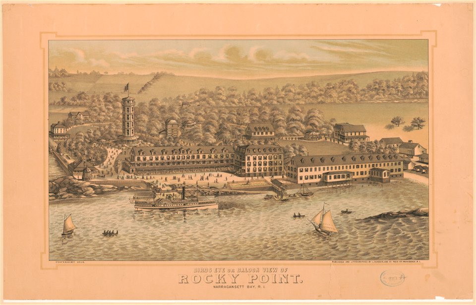
bird's eye view maps of rhode island
bird's eye view maps of rhode island
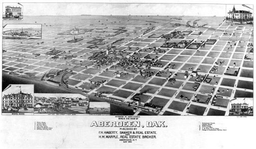
bird's eye view maps of south dakota
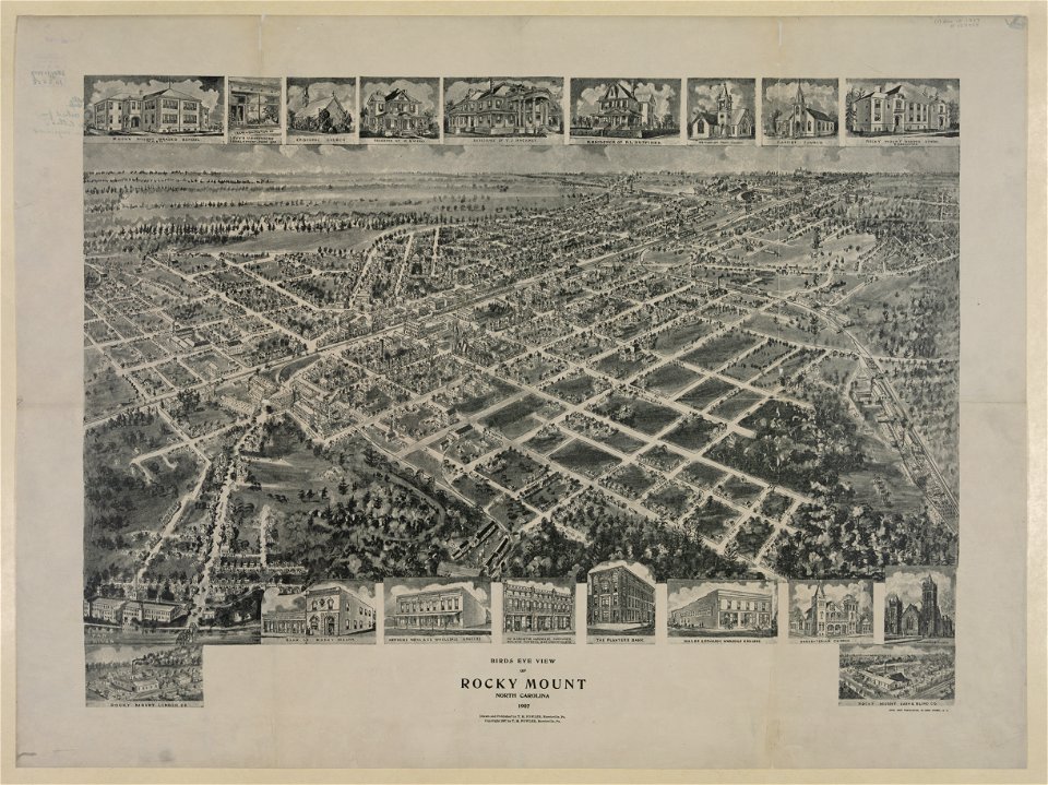
bird's eye view maps of north carolina
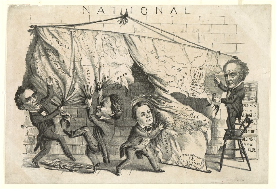
cartoons of the united states
unidentified maps
thomas salmon (historian)
old maps of india
maps of bruges by braun & hogenberg
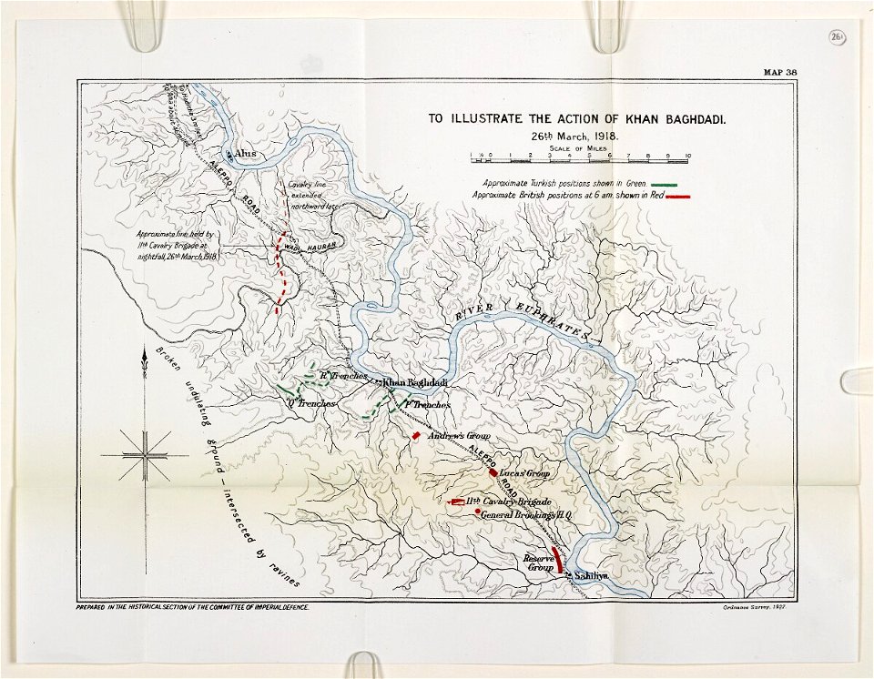
mesopotamian campaign maps of world war i
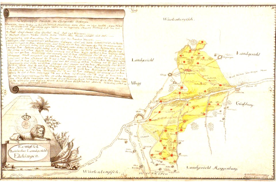
history of elchingen
old maps of bavaria
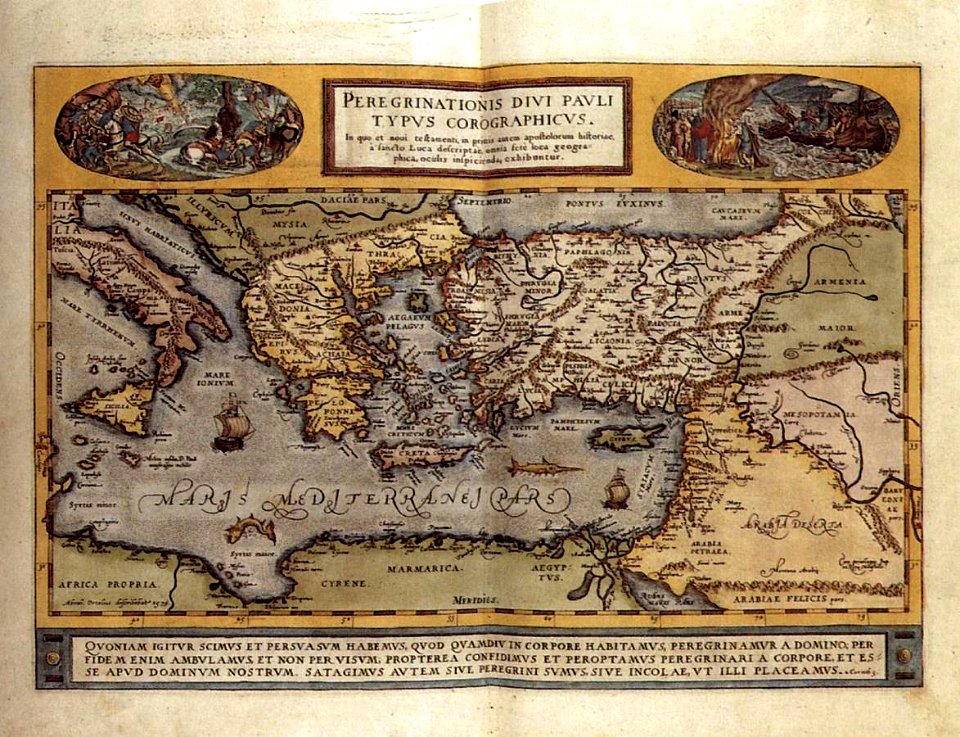
maps by abraham ortelius
16th-century engravings
6001 - 6100 of 35,690
Next page
/ 357